
Prepare for gales and travel disruption ahead of "weather bomb" say forecasters

Gale force winds are expected to rip through most of the country until Friday, with the national media dubbing the extreme conditions a “weather bomb”.
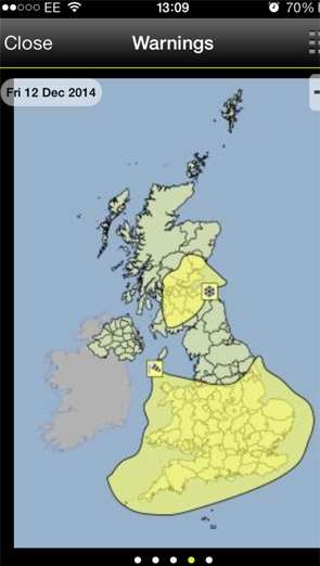
This morning (Tuesday), the Met Office released a yellow severe weather warning for strong winds in the south and south east of England, advising residents to prepare for “gales or severe gales” on Thursday night and into Friday and added: “The public should be aware of the risk of disruption to travel and perhaps power supplies.”
A report released by a Met Office chief forecaster said: “A rapidly deepening area of low pressure has potential to develop in the mid-Atlantic and then run quickly northeast across the northern half of the UK during Friday.
“To the south of this low pressure centre, gales, or severe gales are likely to develop, with gusts to 50 to 60mph quite widely in the warning area.
“A period of heavy rain may also make for tricky driving conditions at times, this perhaps turning to snow over northern hills later.
“This is a very dynamic situation, and details of this development will likely change.
“As such, this alert will be updated in the coming days as confidence grows in track and timing of this low pressure system.”
We will keep you updated of changes to weather warnings throughout the coming days, via our website, at www.newburytoday.co.uk, on Twitter @NewburyToday and on our NewburyToday Facebook page.